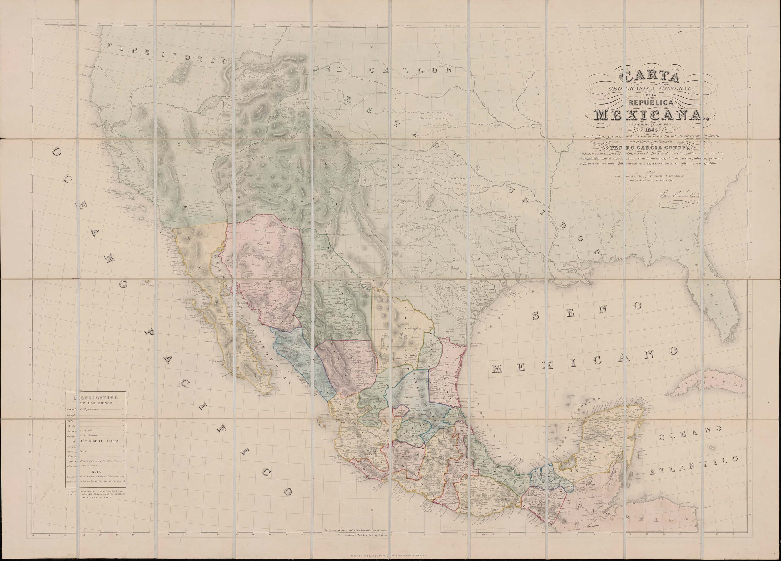
69. Garcia Conde - Carta Geografica General de la Republica Mexicana - 1845 (1854) GLO Map 96438

70. S. Augustus Mitchell - Map of Mexico, including Yucatan & Upper California, exhibiting the chief cities and towns, the principal travelling routes &c. - 1846
GLO Map 93871

71. S. Augustus Mitchell - A New Map of Texas, Oregon and California with the regions adjoining, compiled from the most recent authorities - 1846 GLO Map 93872

72. Baron von Ehrenkreutz - Karte von Texas entworfen nach den Vermessungen welche in den Acten der General-Land-Office der Republick - 1846 GLO Map 94118

73. A. J. Geisler - Karte von Texas - 1846 GLO Map 93875

74. Tanner - A Map of the United States of Mexico as organized and defined by the several Acts of the Congress of that Republic - 1847 GLO Map 93876

75. John Disturnell - Mapa de los Estados Unidos de Mejico, Segun lo organizado y definido por las varias actas del Congreso de dicha Republica: y construido por las mejores autoridades - 1847 GLO Map 93878

76. Laurie - Fredonia or the United States of North-America; including also Cabotia, or the Canadian Provinces; the Western Territory to the Pacific Ocean; and the Northern Part of the Mexican States - 1834 (1848) GLO Map 93879

77. de Cordova - J. De Cordova's Map of the State of Texas Compiled from the records of the General Land Office of the State - 1849 GLO Map 94026

78. Roemer - Topographisch-geognostische Karte von Texas mit Zugrundelegung der geographischen Karte v. Wilson nach eigenen Beobachtungen bearbeitet von Dr. Ferd. Roemer - 1849 GLO Map 94099

79. Karl Baedeker - Karte des Staates Texas (aufgenommen in die Union 1846) nach der neuesten Eintheilung - 1849 GLO Map 93880

80. Eppinger & Baker - Map of Texas compiled from surveys included in the General Land Office - 1851 GLO Map 94417

81. Presler & Volker - Map of Texas Compiled from surveys at the Land Office of Texas - 1851 GLO Map 96431

82. Karte des Staates, Texas - Map of Texas Compiled from surveys at the Land Office of Texas - 1851 GLO Map 97191

83. Case Tiffany - Map of the United States - 1851 GLO Map 93899

84. Henry Burr - Disturnell's New Map of the United States and Canada; showing all the canals, railroads, telegraph lines and principal stage routes - 1853
GLO Map 93900

85. J. H. Young - Map of the State of Texas from the Latest Authorities - 1854 GLO Map 93901

86. J. de Cordova - J. De Cordova's Map of the State of Texas Compiled from the records of the General Land Office of the State - 1854 GLO Map 93903

87. Colton - Map of the United States of America, the British Provinces, Mexico, the West Indies and Central America with part of New Granada and Venezuela - 1855 GLO Map 93904

88. William C. Reynolds - Reynolds's Political Map of the United States Designed to Exhibit the Comparative Area of the Free and Slave States and the Territory open to Slavery or Freedom by the Repeal of the Missouri Compromise -1856 GLO Map 97115

89. Ls. Voise - Trace d'une partie Chemin de Fer de Galveston a Houston et Henderson, Texas, Etats unis d'Amerique - 1857 GLO Map 93905